


GPS vs Map Navigation: The Ultimate Guide to Choosing Your Navigation Method in 2024
When I first started exploring the wilderness, I faced the eternal dilemma that every outdoor enthusiast encounters: should I rely on traditional paper maps or embrace modern GPS technology? After years of hiking through remote trails and urban environments, I've learned that the choice between GPS vs map navigation isn't just about technology—it's about understanding when each method serves you best. Whether you're planning your next adventure with Nature Guests or embarking on solo expeditions, this comprehensive guide will help you make the right navigation choice for your specific needs.
Understanding Modern Navigation Challenges
The debate between GPS vs map navigation has evolved significantly since I began my outdoor adventures. In my early hiking days, I witnessed firsthand how technology transformed the way we explore the wilderness. What started as a simple choice between a compass and a paper map has become a complex decision involving smartphone apps, dedicated GPS devices, and hybrid navigation systems.
Through countless hours spent planning hiking routes across different terrains, I've learned that modern navigation challenges extend far beyond simply finding your way. Today's outdoor enthusiasts must consider battery life, signal reliability, weather resistance, and the cognitive benefits of traditional navigation skills.
The fundamental question isn't whether GPS or map navigation is superior, but rather understanding when each method provides the greatest advantage. During my expeditions to remote wilderness areas, I've encountered situations where GPS failed due to heavy cloud cover, and others where paper maps became unreadable in sudden downpours. These experiences taught me that successful navigation often requires preparation for multiple scenarios.
Research from McMaster University reveals that our navigation choices directly impact cognitive function and memory retention. When we rely exclusively on GPS, we engage in passive navigation, potentially weakening our spatial awareness skills. Conversely, active map reading stimulates the hippocampus, the brain region responsible for memory formation and spatial orientation. This scientific evidence supports what I've observed: hikers who combine both navigation methods tend to develop better overall outdoor skills and maintain stronger situational awareness throughout their adventures.
The Power of GPS Technology
GPS technology has revolutionized outdoor navigation in ways I couldn't have imagined when I started hiking. The precision and convenience of modern GPS devices and smartphone applications provide real-time location tracking with accuracy typically within 3-5 meters under optimal conditions. During my recent backcountry expeditions, GPS navigation proved invaluable for maintaining course accuracy and documenting waypoints for future reference.
Real-Time Accuracy and Dynamic Updates
The most compelling advantage of GPS technology lies in its ability to provide instant location updates and route corrections. Unlike static paper maps, GPS systems continuously calculate your position relative to satellites, offering turn-by-turn guidance that adapts to changing conditions. I've used this capability extensively when weather forecasting for hikers suggested route modifications due to incoming storms.
Personal Experience: During a challenging traverse in the Cascade Mountains, my GPS device provided critical waypoint navigation through dense fog when visibility dropped to less than 50 feet. Without GPS coordinates, I would have spent hours attempting to navigate using compass bearings alone.
Advanced Features and Connectivity
Modern GPS devices offer sophisticated features that extend far beyond basic navigation. Emergency communication capabilities, such as satellite messaging and SOS functions, provide critical safety options in remote areas where cellular coverage is unavailable. These features have proven essential during my expeditions to areas where checking trail weather conditions revealed rapidly changing environmental factors.
The integration of topographic mapping data, elevation profiles, and route planning software transforms GPS devices into comprehensive navigation platforms. I've found that the ability to preload detailed maps and share waypoints with fellow hikers significantly enhances group coordination and safety planning. Additionally, many GPS units now include features like sunrise/sunset times, barometric pressure readings, and weather alerts that provide valuable environmental information for decision-making.
Traditional Paper Maps: Timeless Reliability
Despite the technological revolution in navigation, paper maps remain an indispensable tool for serious outdoor enthusiasts. Throughout my hiking career, I've discovered that traditional maps offer unique advantages that digital alternatives cannot fully replicate. The tactile experience of unfolding a topographic map and studying terrain features develops a deeper understanding of the landscape that enhances overall navigation skills.
Cognitive Benefits and Spatial Awareness
Paper map navigation actively engages cognitive processes that GPS systems bypass. When I study a topographic map before a hike, I'm forced to visualize the terrain, identify potential hazards, and plan alternative routes. This mental exercise strengthens spatial reasoning abilities and creates lasting memory connections that prove valuable throughout the expedition. Research from neuroscience studies indicates that individuals who regularly use paper maps maintain better spatial orientation skills and demonstrate enhanced hippocampus function compared to those who rely exclusively on GPS navigation.
The comprehensive overview provided by paper maps allows for strategic planning that considers the entire journey rather than just the immediate next step. I can identify water sources, camping locations, and emergency exit routes while maintaining awareness of elevation changes and terrain challenges. This big-picture perspective proves particularly valuable when conditions require rapid route modifications or when hiking in rain safety becomes a primary concern.
Reliability and Independence
The most significant advantage of paper maps lies in their independence from external systems and power sources. During a multi-day backpacking trip in Olympic National Park, I experienced firsthand how paper maps provide unwavering reliability when electronic devices fail. While my GPS unit succumbed to moisture damage on day three, my waterproof topographic maps continued to provide accurate navigation guidance throughout the remainder of the expedition.
Expert Tip: I always carry high-quality topographic maps printed on waterproof paper as my primary backup navigation system. These maps have saved countless expeditions when technology failed or battery power was depleted.
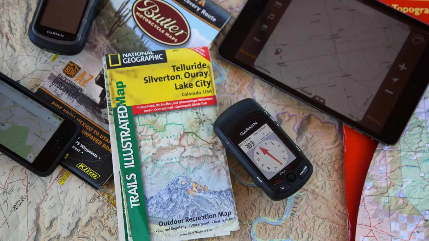
Head-to-Head: GPS vs Map Navigation

After years of testing both navigation methods across diverse terrains and conditions, I've developed a comprehensive understanding of when each approach provides optimal results. The GPS vs map navigation comparison reveals distinct advantages and limitations that every outdoor enthusiast should understand before venturing into unfamiliar territory.
Accuracy and Precision Comparison
GPS technology typically provides location accuracy within 3-5 meters under ideal conditions, while paper maps require interpolation skills that can introduce human error. However, GPS accuracy degrades significantly in challenging environments such as deep canyons, dense forest canopies, or areas with heavy atmospheric interference. During my expeditions through slot canyons in Utah, I observed GPS accuracy deteriorating to 50+ meters, making paper maps with compass navigation more reliable for precise positioning.
| Navigation Aspect | GPS Navigation | Paper Maps |
|---|---|---|
| Accuracy | 3-5m (optimal), 50m+ (degraded) | Depends on user skill, typically 10-25m |
| Battery Dependence | 8-24 hours typical usage | No power required |
| Weather Resistance | Variable (waterproof models available) | Excellent (waterproof options) |
| Learning Curve | Minimal initial learning | Significant skill development required |
| Cost Factor | $100-$600+ initial investment | $15-$50 per map set |
Environmental Performance Analysis
Environmental conditions significantly impact the performance of both navigation methods. GPS devices struggle in extreme cold conditions where battery performance degrades rapidly, while paper maps remain functional regardless of temperature. I've documented GPS battery life decreasing by 60-80% during winter expeditions at temperatures below -10°F, while properly protected paper maps continued to provide reliable navigation reference.
Moisture presents challenges for both systems, though in different ways. While modern GPS units often feature waterproof construction, screen visibility can deteriorate in bright sunlight or when covered with water droplets. Paper maps, when printed on waterproof material, maintain readability in wet conditions but require careful handling to prevent tearing or damage. My preference for challenging environments involves using both systems complementarily, with GPS providing precise positioning and paper maps offering strategic overview and backup capability.
The Smart Hybrid Navigation Strategy
Through extensive field testing and practical application, I've developed what I consider the optimal approach to modern navigation: a strategic combination of both GPS and traditional map navigation methods. This hybrid strategy maximizes the strengths of each system while providing comprehensive backup options that ensure navigation success regardless of technological failures or environmental challenges.
Pre-Trip Planning Integration
My hybrid navigation strategy begins during the planning phase, where I use digital tools to scout terrain and identify key waypoints, then transfer critical information to paper maps for field reference. This process involves studying satellite imagery, elevation profiles, and recent trip reports through GPS software, followed by marking significant features on waterproof topographic maps. The combination provides both detailed digital accuracy and reliable analog backup that functions regardless of electronic failures.
During route planning, I identify critical decision points where navigation accuracy becomes essential, such as river crossings, ridge traverses, or complex trail intersections. These locations receive special attention in both digital and analog formats, with GPS coordinates recorded alongside traditional bearing and distance measurements. This redundant approach has proven invaluable when conditions require rapid navigation decisions or when one system becomes unavailable.
Navigation Protocol: I always begin each hiking day by checking GPS positioning against paper map features, establishing a baseline that ensures both systems provide consistent information. This practice has prevented numerous navigation errors caused by GPS drift or map misinterpretation.
Field Implementation Techniques
In the field, my hybrid approach prioritizes GPS for precise positioning while using paper maps for strategic decision-making and route planning. GPS devices excel at providing current location and tracking progress along predetermined routes, while paper maps offer the comprehensive overview necessary for understanding terrain relationships and identifying alternative routes when conditions change.
The key to successful hybrid navigation lies in developing proficiency with both systems rather than relying primarily on one method with the other as an afterthought. I dedicate specific practice time to map and compass navigation skills, ensuring that traditional methods remain sharp and reliable when needed. This balanced approach proves particularly valuable in challenging conditions where GPS vs map navigation decisions must be made quickly and accurately.
📍 Professional GPS Device - Garmin eTrex 22x $180Essential Navigation Gear & Recommendations
Based on years of field testing across diverse environments, I've identified essential navigation equipment that provides reliable performance for both casual day hikers and serious backcountry adventurers. The right combination of GPS devices, paper maps, and supporting accessories creates a navigation system capable of handling any challenge the wilderness presents.
GPS Device Selection
For GPS navigation, I recommend dedicated handheld units over smartphone applications for serious outdoor use. Dedicated GPS devices offer superior battery life, weather resistance, and satellite reception compared to smartphones. The Garmin eTrex series provides excellent reliability and accuracy at various price points, with the eTrex 22x offering an optimal balance of features and cost for most users.
Budget Option
Bushnell BackTrack Mini GPS - Perfect for day hiking and basic navigation needs. Compact, lightweight, and user-friendly.
Get for $68.19Professional Choice
Garmin inReach Mini 2 - Advanced GPS with satellite communication capabilities for remote area safety.
Get for $284.81Paper Map Essentials
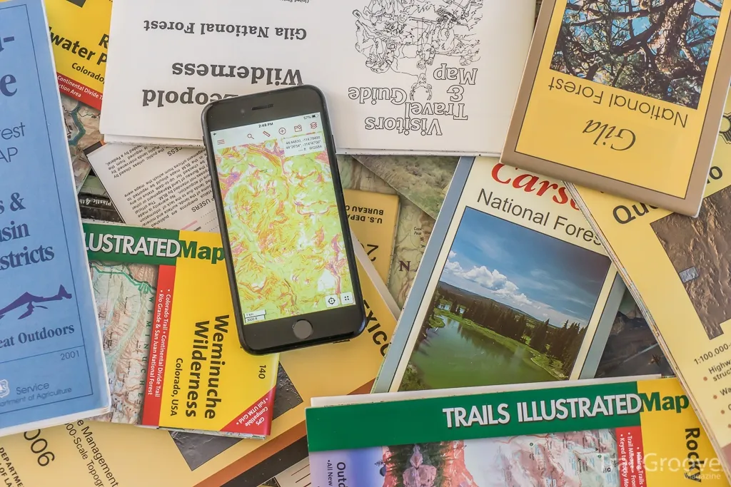
Quality topographic maps form the foundation of reliable navigation backup systems. I prefer National Geographic's topographic map series for their accuracy, detail, and waterproof options. These maps provide comprehensive terrain information, trail details, and landmark identification that proves invaluable for both route planning and field navigation.
Trail Specific Maps
Zion National Park Day Hikes Map - Detailed topographic guide with trail information and safety notes.
Get for $14.95Entry Level GPS
Garmin eTrex 10 - Reliable basic GPS with worldwide basemap and essential navigation features.
Get for $131.90Supporting accessories enhance the functionality of both GPS and paper map navigation systems. I carry a reliable compass as a primary backup to GPS positioning, waterproof map cases to protect paper maps in challenging conditions, and extra batteries to ensure GPS devices remain operational throughout extended expeditions. A quality headlamp with red light capability proves essential for map reading during early morning or evening navigation sessions.
Complete Navigation Kit: My standard navigation kit includes a handheld GPS device, waterproof topographic maps, quality compass, map case, extra batteries, and emergency whistle. This combination has never failed to provide reliable navigation capability regardless of conditions encountered.
Conclusion
The choice between GPS vs map navigation doesn't require selecting one method over the other—it demands understanding when each approach provides optimal results and developing proficiency with both systems. Through years of practical field experience across diverse environments, I've learned that successful navigation relies on adaptability, preparation, and the wisdom to use the right tool for each specific situation.
GPS technology offers unparalleled precision and convenience for modern outdoor adventures, providing real-time positioning, route guidance, and emergency communication capabilities that enhance both safety and enjoyment. However, traditional paper maps continue to provide essential advantages including unlimited reliability, comprehensive terrain overview, and cognitive benefits that strengthen overall navigation skills. The most effective approach combines both methods strategically, utilizing GPS for precise positioning while maintaining paper map competency for strategic planning and backup navigation.
As outdoor recreation continues to evolve, the fundamental principles of navigation remain constant: preparation, redundancy, and skill development. Whether you're embarking on day hikes near populated areas or venturing into remote wilderness regions, a well-planned navigation strategy that incorporates both modern technology and traditional skills provides the confidence and capability necessary for safe, successful adventures.
Remember that navigation technology serves as a tool to enhance your outdoor experience, not replace fundamental skills and judgment. Invest time in developing proficiency with both GPS devices and paper maps, practice navigation techniques in familiar areas before attempting challenging expeditions, and always carry backup systems appropriate for your planned activities. The wilderness rewards those who prepare thoroughly and maintain respect for the environment's inherent challenges and unpredictability.
Ready to Enhance Your Navigation Skills?
Whether you choose GPS, traditional maps, or a hybrid approach, proper preparation and quality equipment make all the difference in your outdoor adventures.
🧭 Browse Navigation Equipment