


The Complete Guide to Check Trail Weather Conditions: Expert Tips for Safe Hiking
After 15 years of hiking across diverse terrains from the Rocky Mountains to the Appalachian Trail, I've learned that knowing how to check trail weather conditions can mean the difference between an epic adventure and a dangerous situation. This comprehensive guide shares my proven strategies, essential resources, and hard-learned lessons to help you master trail weather forecasting like a seasoned outdoor professional.
Why Accurate Trail Weather Forecasting Matters
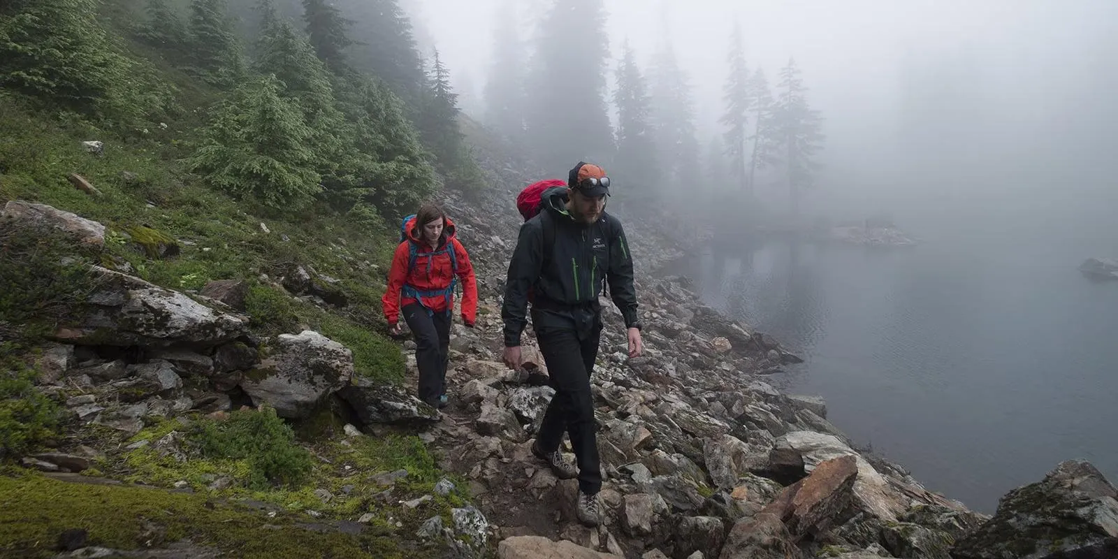
I'll never forget the day I learned the critical importance of how to properly check trail weather conditions. It was during my third year of serious hiking, attempting a challenging 14er in Colorado. The morning forecast showed clear skies, but I hadn't learned to check trail weather conditions at multiple elevations. By noon, I was caught in a violent thunderstorm above treeline – a potentially deadly situation that could have been avoided with proper weather analysis.
That experience taught me that learning how to check trail weather conditions isn't just about comfort; it's about survival. Weather in mountainous and wilderness areas can change dramatically within hours, and conditions at trailheads often bear little resemblance to what you'll encounter at higher elevations or in exposed areas.
Key Weather-Related Hiking Risks
- Lightning strikes: The leading cause of weather-related hiking fatalities
- Hypothermia: Can occur even in summer at high elevations
- Flash floods: Sudden storms can turn dry washes into raging torrents
- Whiteout conditions: Fog and snow can eliminate visibility completely
- Heat exhaustion: Underestimating desert or summer conditions
When you learn to properly check trail weather conditions, you're not just improving your hiking experience – you're developing a critical survival skill. Over my 15 years of hiking, I've used these techniques to avoid dangerous situations on trails ranging from the Pacific Crest Trail to the White Mountains of New Hampshire.
The key insight I've gained is that checking trail weather conditions is fundamentally different from checking your local weather. Trail weather requires understanding elevation changes, microclimates, and specialized forecasting resources that most casual hikers never discover. This guide will teach you exactly how I check trail weather conditions before every adventure, using the same systematic approach that has kept me safe through thousands of miles of hiking.
Get Professional Weather StationEssential Resources to Check Trail Weather Conditions

After years of testing different approaches to check trail weather conditions, I've identified the most reliable resources every hiker should know. These aren't just weather apps – they're specialized tools designed specifically for outdoor enthusiasts who need accurate, elevation-specific forecasts.
Specialized Mountain Weather Services
Mountain Forecast (mountain-forecast.com) - This is my #1 resource when I need to check trail weather conditions for high-elevation hikes. What sets Mountain Forecast apart is its ability to provide weather data at different elevations for the same location.
I've used Mountain Forecast for climbs in the Cascades, Rockies, and Sierra Nevada, and it consistently provides the most accurate high-elevation forecasts. The site covers over 12,000 peaks worldwide and shows forecasts for base, mid-mountain, and summit elevations – critical information when planning routes that involve significant elevation gain.
Best for: High-elevation hikes, mountaineering, any trail with significant elevation changes
National Weather Service Point Forecasts (weather.gov) - When I need to check trail weather conditions with government-level accuracy, I always start with NOAA's point forecasts. You can click anywhere on their interactive map to get a detailed forecast for that specific location.
What makes this invaluable is the ability to get forecasts for remote trail locations, not just nearby cities. I regularly use this for backcountry trips where I need hourly forecasts for specific trail segments. The forecast discussions also provide insights into meteorologist confidence levels and potential forecast changes.
Best for: Detailed hourly forecasts, understanding weather patterns, official government accuracy
AT Weather (atweather.org) - For long-distance trail hikers, this specialized service makes it incredibly easy to check trail weather conditions for specific trail segments. It provides NOAA forecasts organized by trail, state, and location markers.
I've used AT Weather extensively during my Appalachian Trail section hikes, and it's invaluable for planning resupply stops and weather windows. The site covers both the Appalachian Trail and Pacific Crest Trail with location-specific forecasts that are perfectly organized for thru-hikers.
Best for: Long-distance trails, section hiking, thru-hiking planning
Advanced Weather Apps and Services
Beyond the basic resources, I rely on several advanced tools when I need to check trail weather conditions for challenging or remote locations. These services provide model-specific forecasts and allow you to compare different weather models for the same location.
SpotWx.com
Provides weather model comparisons and precise coordinate-based forecasts. Recommended by Parks Canada for backcountry users.
OpenSnow
Premium weather service with detailed mountain forecasts. Integrated into Gaia GPS for seamless trail planning.
When I check trail weather conditions for particularly challenging hikes, I often consult multiple sources to build a comprehensive picture. The key is understanding that different models excel in different conditions – some are better for precipitation, others for temperature, and some for wind forecasts.
Get Advanced GPS Weather ToolsAdvanced Weather Prediction Techniques for Hikers
Learning how to check trail weather conditions goes beyond just reading forecasts. Over the years, I've developed advanced techniques that help me interpret weather data more accurately and make better decisions in the field. These methods have saved me from dangerous situations and helped me find perfect weather windows for challenging climbs.
Model Comparison and Ensemble Forecasting
When I really need to check trail weather conditions accurately, I don't rely on a single forecast. Instead, I compare multiple weather models to identify consensus and areas of uncertainty. This technique, called ensemble forecasting, is what professional meteorologists use for critical weather decisions.
My Model Comparison Process:
- GFS (American Model): Good for general patterns, updated every 6 hours
- ECMWF (European Model): Generally more accurate for 3-7 day forecasts
- NAM (North American Model): Better for shorter-term, high-resolution forecasts
- Canadian Model (CMC): Excellent for northern regions and cold weather
When all models agree, I have high confidence in the forecast. When they disagree, I know there's uncertainty and plan for multiple scenarios. This approach has helped me make better decisions about when to attempt exposed ridges, river crossings, and high-elevation routes.
Reading Natural Weather Signs
Technology is crucial, but I've learned that knowing how to check trail weather conditions also means reading nature's own forecasting signs. These traditional techniques have saved me when forecasts were wrong or when I lost connectivity in remote areas.
Cloud Formations
- Cumulus clouds building vertically = thunderstorm potential
- Cirrus clouds = weather change in 24-48 hours
- Lenticular clouds = high winds at elevation
Barometric Pressure
- Rapidly falling pressure = storm approaching
- Steady high pressure = continued fair weather
- Pressure changes = weather system movement
I always carry a watch with a barometric altimeter, which doubles as a weather forecasting tool. Sudden pressure drops while at the same elevation indicate approaching storms, while rising pressure suggests improving conditions. This real-time data complements the forecasts I check before the trip.
Elevation and Temperature Calculations
One of the most important skills when learning how to check trail weather conditions is understanding how elevation affects temperature. I use the standard atmospheric lapse rate to estimate temperatures at different elevations along my route.
Temperature Calculation Formula
Temperature Drop = (Elevation Gain in feet ÷ 1000) × 3.5°F
Example: If it's 70°F at 2000ft elevation, at 8000ft it will be approximately: 70°F - ((8000-2000)÷1000 × 3.5) = 49°F
This calculation is essential when I check trail weather conditions for hikes that involve significant elevation gain. A comfortable 75°F at the trailhead can become a frigid 40°F at the summit, completely changing gear requirements and safety considerations.
Technology and Tools for Trail Weather Monitoring
Modern technology has revolutionized how we check trail weather conditions. Beyond smartphones and weather apps, I rely on specialized devices and tools that provide real-time weather data in the backcountry. These tools have become essential components of my hiking safety system.
Satellite Communication and Weather Updates
Garmin inReach Devices - These satellite communicators allow me to check trail weather conditions even in areas with no cell coverage. I can request detailed weather forecasts directly to my device, which has been invaluable during multi-day backcountry trips.
The weather feature provides 5-day forecasts with hourly details for the first 48 hours. During a recent Sierra Nevada backpacking trip, this capability allowed me to adjust my itinerary based on updated storm forecasts, avoiding dangerous conditions on an exposed ridge.
Key Features: Two-way messaging, SOS functionality, detailed weather forecasts, works anywhere on Earth
Barometric Pressure Monitoring
Every serious hiker should understand how to check trail weather conditions using barometric pressure trends. I wear a watch with a built-in barometer that alerts me to significant pressure changes – often the first sign of approaching weather systems.
Pressure Trends
- Rising fast: Clear weather ahead
- Falling slowly: Gradual weather change
- Falling rapidly: Storm approaching
- Fluctuating: Unstable conditions
Storm Alerts
- 4+ mb drop in 3 hours: Take shelter
- Sudden pressure spike: Severe weather
- Oscillating pressure: Thunderstorms
- Steady trends: Reliable patterns
GPS and Weather Integration
Modern GPS devices and apps now integrate weather data directly into trail planning. When I check trail weather conditions using Gaia GPS or similar apps, I can see weather overlays on my planned route, helping me identify potential problem areas before I encounter them.
Essential Weather-Integrated Apps:
- Gaia GPS: Integrates OpenSnow weather data with detailed topographic maps
- AllTrails: Provides basic weather forecasts for popular trail destinations
- PeakFinder: Shows weather conditions on visible peaks and summits
- Mountain Hub: Community-driven weather and trail condition reports
The integration of real-time weather data with GPS tracking has transformed how I approach route planning. I can now visualize exactly where weather systems will impact my planned route and make informed decisions about alternate routes or timing adjustments.
Seasonal Considerations and Regional Variations
Learning how to check trail weather conditions effectively requires understanding how different seasons and regions present unique challenges and opportunities. After hiking in diverse climates from desert Southwest to alpine environments, I've developed season-specific strategies that dramatically improve forecast accuracy and safety.
Winter Weather Considerations
Winter dramatically changes how I check trail weather conditions. Temperature becomes secondary to wind chill, precipitation type, and avalanche conditions. I've learned that winter forecasting requires different resources and much more conservative interpretation of data.
Winter-Specific Weather Checks:
- Avalanche.org: Essential for any winter mountain travel
- Wind chill calculators: Actual danger level assessment
- Snow depth reports: From SNOTEL stations and local observers
- Freezing level forecasts: Critical for rain vs. snow predictions
- Visibility forecasts: Whiteout conditions assessment
During winter trips, I always check trail weather conditions from multiple avalanche centers, not just general weather services. The detailed snow stability assessments and weather impact analysis from professional avalanche forecasters provide insights that standard weather services don't offer.
Summer and Desert Conditions
Summer hiking, especially in desert regions, requires a completely different approach to check trail weather conditions. Heat index becomes more important than air temperature, and afternoon thunderstorm patterns dominate safety planning.
Heat Safety Metrics
- Heat index > 90°F: Caution required
- Heat index > 105°F: Extreme danger
- Overnight lows > 75°F: No cooling
- Humidity levels: Sweat efficiency
Monsoon Patterns
- Daily thunderstorm timing
- Flash flood potential
- Lightning risk assessment
- Escape route planning
Regional Weather Patterns
Different regions require specialized knowledge when you check trail weather conditions. West Coast marine layers, Rocky Mountain afternoon thunderstorms, and Northeastern winter storms all have distinct patterns that experienced hikers learn to recognize and plan around.
Regional Weather Specialties I've Learned:
Pacific Northwest:
- Marine layer burn-off timing
- Cascade Concrete conditions
- River crossing safety
Rocky Mountains:
- Afternoon thunderstorm timing
- Alpine start requirements
- Elevation-specific forecasts
Understanding these regional patterns has allowed me to time my hikes for optimal weather windows. For example, I know that Rocky Mountain thunderstorms typically develop between 11 AM and 4 PM, so I plan summit attempts to be complete by 10 AM during summer months.
Safety Protocols Based on Weather Conditions
Knowing how to check trail weather conditions is only half the equation – the other half is knowing how to respond appropriately to different weather scenarios. Over my years of hiking, I've developed specific protocols for different weather conditions that prioritize safety while still allowing for amazing outdoor experiences.
Lightning and Thunderstorm Protocols
My Lightning Safety Decision Tree:
- 30-30 Rule: Seek shelter when thunder follows lightning by 30 seconds or less
- Avoid exposed ridges: Get below treeline or into substantial shelter
- Group separation: Spread out to reduce group injury risk
- Metal objects: Remove from body and place 30+ feet away
- Wait 30 minutes: After last thunder before resuming exposed travel
When I check trail weather conditions and see thunderstorm potential, I always plan alternative routes and bailout points. This pre-planning has saved me multiple times when afternoon storms developed faster than forecasted.
Cold Weather and Hypothermia Prevention
Cold weather conditions require specific protocols based on temperature, wind, and precipitation combinations. I've learned that hypothermia can occur even in seemingly mild conditions when combined with wind and moisture.
Wind Chill Protocol
- -18°F wind chill: Frostbite in 30 min
- -9°F wind chill: Frostbite in 10 min
- Multiple shelter layers required
- Emergency gear accessibility
Clothing Systems
- Base layer: Moisture management
- Insulation: Warmth retention
- Shell: Wind/water protection
- Extremities: Priority protection
Precipitation and Flood Safety
When I check trail weather conditions and see significant precipitation forecasted, I pay special attention to flood risks and stream crossing safety. Flash floods can occur miles from the actual rainfall, making this a critical safety consideration.
Precipitation Safety Checklist:
Before the Trip:
- Check upstream weather conditions
- Identify alternative crossing points
- Plan high-ground camping spots
- Waterproof critical gear
During the Trip:
- Monitor water levels hourly
- Avoid slot canyons and washes
- Cross streams early in day
- Have rope/safety systems ready
These protocols aren't theoretical – they're based on real situations I've encountered. Understanding how to check trail weather conditions and then acting appropriately on that information has been the foundation of my hiking safety system for over 15 years.
Conclusion
Learning how to check trail weather conditions effectively is one of the most valuable skills any hiker can develop. Throughout this comprehensive guide, I've shared the resources, techniques, and protocols that have kept me safe and enhanced my hiking experiences across thousands of miles of diverse terrain.
The key insight I want you to remember is that checking trail weather conditions is fundamentally different from checking your local weather forecast. It requires specialized resources like Mountain Forecast and NOAA point forecasts, understanding of elevation effects, and the ability to interpret multiple weather models. Most importantly, it demands that you develop appropriate safety protocols based on the conditions you discover.
Key Takeaways for Trail Weather Success
Essential Resources:
- Mountain Forecast for elevation-specific data
- NOAA point forecasts for official accuracy
- Multiple weather models for comparison
- Satellite communication for remote areas
Critical Skills:
- Temperature calculations by elevation
- Natural weather sign interpretation
- Barometric pressure trend analysis
- Regional pattern recognition
Remember that technology is a tool, but judgment and experience are what keep you safe in the mountains. Start with shorter, less committing hikes to practice these weather forecasting skills. Build your confidence by comparing your predictions with actual conditions, and always err on the side of caution when conditions are uncertain.
The investment in learning how to properly check trail weather conditions will pay dividends throughout your hiking career. Not only will you be safer, but you'll also discover perfect weather windows for those epic adventures that create lifelong memories. Whether you're planning a day hike in your local mountains or a multi-week wilderness expedition, these skills will serve you well.
Stay safe out there, and remember – the mountains will always be there. Don't let poor weather decisions prevent you from enjoying many more years of incredible hiking adventures.